Earth Sciences New Zealand meteorologists are anticipating a significant El Niño influence on weather patterns across the country from winter onwards, potentially bringing reduced rainfall for some areas.
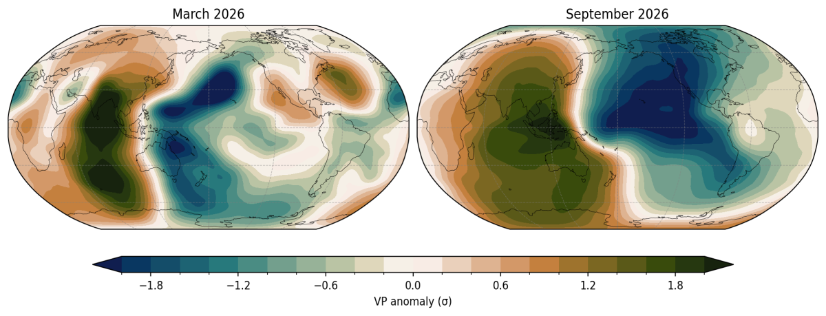
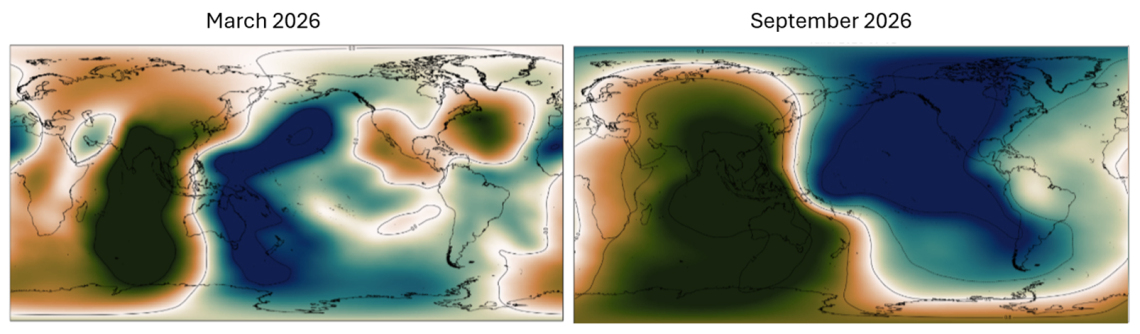
Earth Sciences New Zealand has been monitoring signs of a developing El Niño in the tropical Pacific Ocean for the past six months, with global climate models now showing a clear consensus for an El Niño event to arrive this winter. There is a greater than 60% probability that the event will be classified as ‘strong’ by spring, with the potential to intensify further later in the year.
“La Niña has only just ended, but there are indications that we’ll see a rapid flip to El Niño.”
Jon Tunster
Earth Sciences New Zealand & MetService meteorologist
El Niño and La Niña are the two phases of the El Niño–Southern Oscillation (ENSO), a natural climate cycle driven by ocean temperatures and atmospheric pressure across the tropical Pacific. During El Niño, warmer-than-average ocean temperatures develop in the central and eastern Pacific, weakening the trade winds, and shifting tropical rainfall towards the central and eastern Pacific.
El Niño’s impacts extend downstream of the circulation changes in the tropics, shaping our weather here in New Zealand.
What this could mean for New Zealand
While ENSO only accounts for some of our weather variability, it plays a key part in influencing where areas of high pressure tend to sit over the country.
Tunster says the forecast atmospheric response from this upcoming El Niño could strengthen the tendency for high-pressure systems to anchor themselves over the Australian continent during winter, resulting in a south-westerly flow over New Zealand.
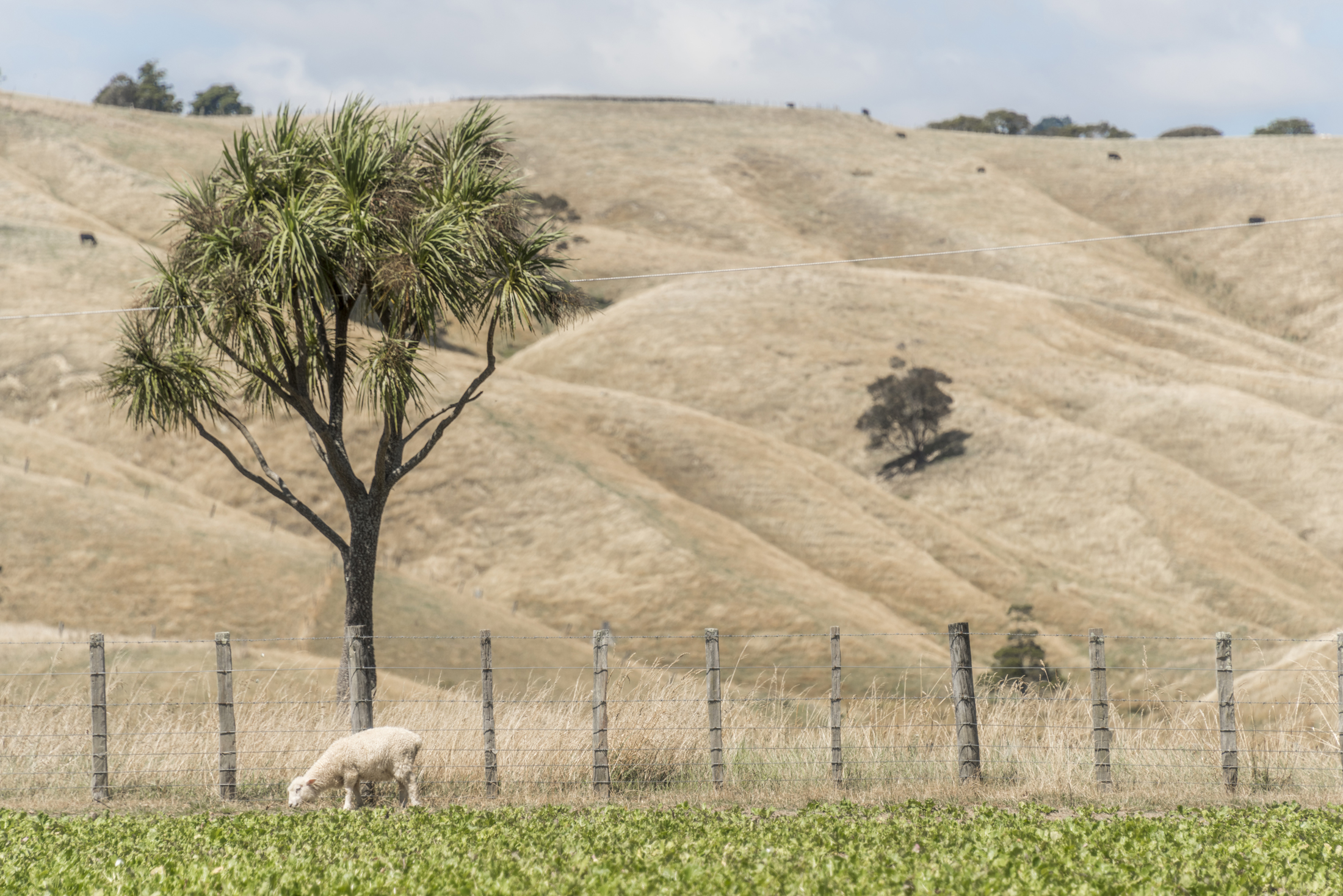
“This could bring increased rainfall to Southland, parts of Otago, and western facing areas, primarily of the South Island, but reduced rainfall for much of the remainder of the country.
“Dryness could become an issue as spring approaches, for areas that see a reduction in their normal winter rainfall such as the east of both islands, or the upper North Island.”
Although south-westerly patterns can be associated with cold winters, at this stage he says it appears unlikely that a nationwide colder than usual winter will occur.
“We could see occasional cold snaps, lasting a few days at a time – except in inland parts of the South Island where the cold air can linger for longer periods. Or a colder-than-average month within an otherwise near-average season,” says Tunster.
Dramatic impacts on globally important large-scale weather systems look likely, including the Indian monsoon and the North Pacific storm track.
“Given the projected strength of this event, it will be very surprising if New Zealand doesn’t feel some impacts. However, surprises are always possible.”
Earth Sciences New Zealand’s Seasonal Climate Outlook will provide updates as the El Niño event unfolds. For a deeper dive on how we monitor ESNO and the potential impacts of this El Niño event on New Zealand, check out this blog post from Jon Tunster.